Lungnyi
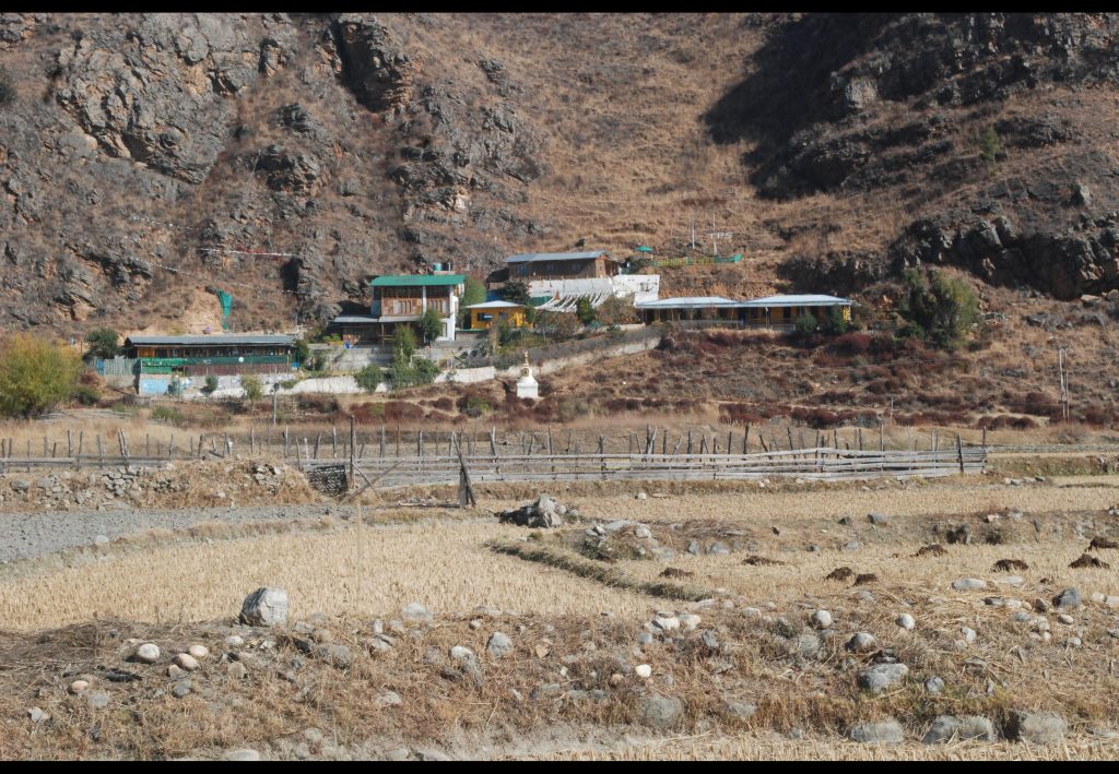
Lungnyi Gewog has a total area of 59.7 Sq.Kms of which 12687.50 acres are covered by forest and it has elevation ranging from 2,200 to 3,400 meters above the sea level. The gewog lies in the central region of the Dzongkgag.
The gewog shares its boundary with Shaba and Wangchang gewogs in the East, in the North it shares with lamgong and Wangchang gewogs, in the South with Naja gewog. The gewog also shares the Dzongkhag boundary with Haa Dzongkhag in the West.
Though the gewog is centrally located agricultural land use is dominated by dry land closely followed by wetland cultivation. Paddy and wheat are the principal cereal crops cultivated while apple, Asparagus and potatoes are the major cash crops cultivated in the gewog.
- Distance from Dzongkhag: 9 km
- Livelihood, source of income: Agricultural farming and Livestock products
- Climate: Four Season
Population | Numbers |
a) Male | 2015 |
b) Female | 2030 |
Elderly (Age 60 and above ) | 270 |
Special needs | 19 |
Number of households | 472 |
Area (sq. km) | 59.7sq.km |
Forest Cover (%) | 80% |
Total number of Lhakhangs/temples |
|
a. Government owned | 6 |
b. Community | 2 |
c. Private | 4 |
Number of chortens | 45 |
Facility | Number | Description (Distance from Gewog Office, Year of establishment, etc.) | Remarks | |
1 | Gewog Office | 1 | 2006 |
|
2 | RNR Extension | 1 | 2006 |
|
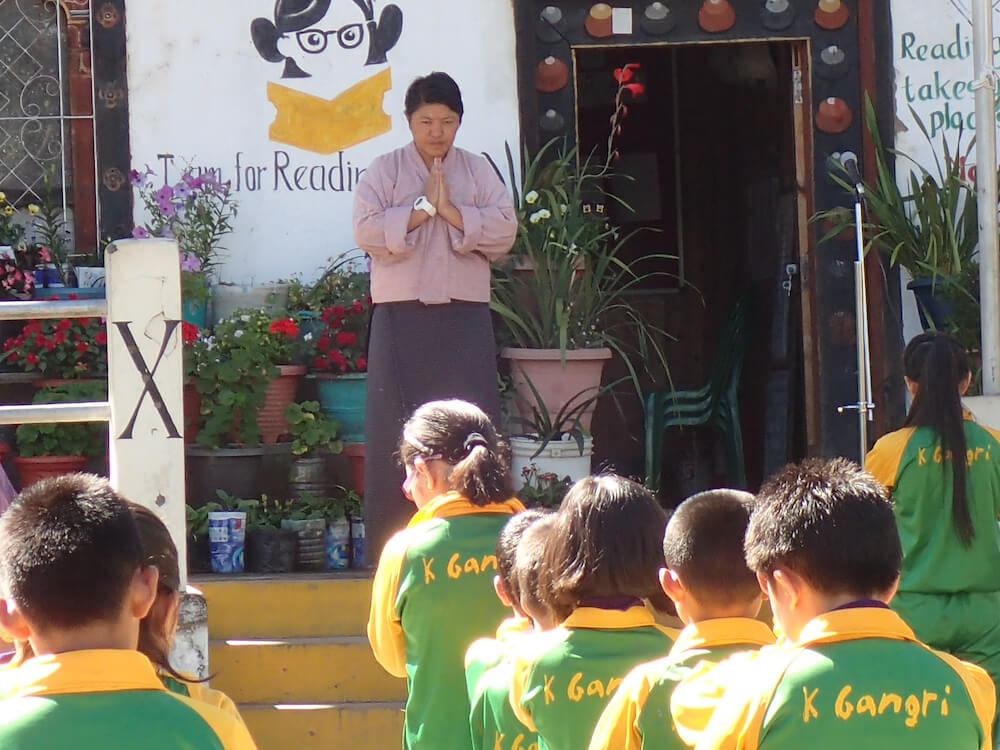
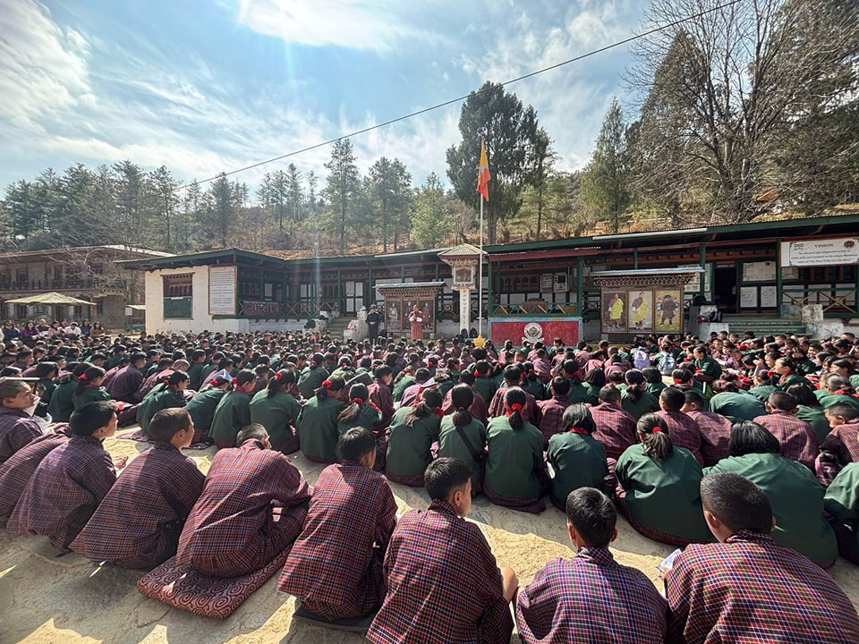
3 | School | 2 | 2014 (Olathang Pry School) Woochu Lower Secondary School 1979 |
|
4 | Royal College | 1 | 2015 |
|
5 | Jigme Singye Wangchuck Law School | 1 | 2016 |
|
6 | ORC | 2 | 2000/2007 | Dzongdrakha (2000) Pangbisa 2007 |
7 | Community Center | 1 | 2011 |
|
8 | Irrigation Canal |
|
|
|
9 | Farm Road |
|
|
|
10 | National Highway | 1 | NA |
|
11 | Bridges/RCC slab | 6 | 2010, 2014, 2017 | Gewog office, Rabsema, Woochu, Changji Lhakgang |
12 | Number of Villages electrified | 40 | NA |
|
13 | Number of households electrified | 472 | NA |
|
14 | Number of village with RWSS scheme | 472 | NA |
|
15 | Number of households with RWSS | 472 | NA |
|
Type of Land Use | Acres |
| Dry land | Roughly 300 Acres |
| Wet land | Roughly 1000 Acres |
Name | Designation | Contact No. |
Jamtsho | Gup |
|
Tshering | Mangmi |
|
Choney Lhamo | Gewog ADM |
|
Phutsho Wangdi | Forest |
|
Thinley | Livestock |
|
Yeshi Dorji | Agriculture |
|
| Dzongdrakha Tshogpa |
|
| Pangbisa Tshogpa |
|
| Nemjo Tshogpa |
|
| Bangdey Tshogpa |
|
| Jew-Wochu Tshogpa |
|
Institutions
Staff


Tourism
No tourist destinations in this Gewog.
Quick Links
- Assurance on Accuracy of CV
- Bhutan Computer Incident Response Team (BtCIRT)
- Bhutan NDI
- Bhutan Vaccine System
- G2C eServices – Citizen Services Portal
- Ministry of Health (MoH)
- Online On Application System (Process Citizenship ID Card/Special Permit and Relationship Certificate
- RCSC MAX System
- Security Clearance
- Zhiyog Electronic Systems (ZESt)
